 Scroll
About Gran Canaria
Dunes, peaks and a real city.
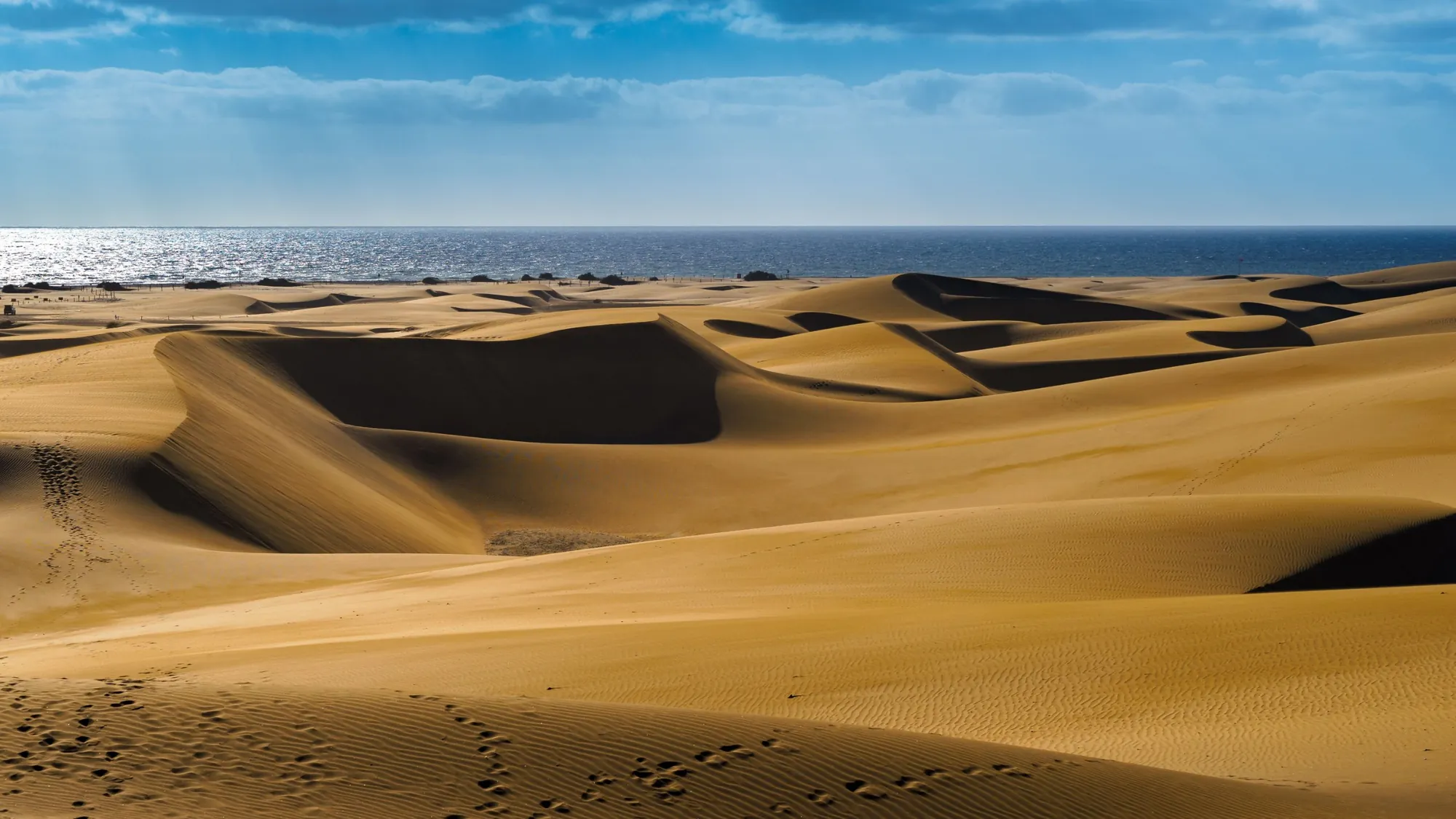
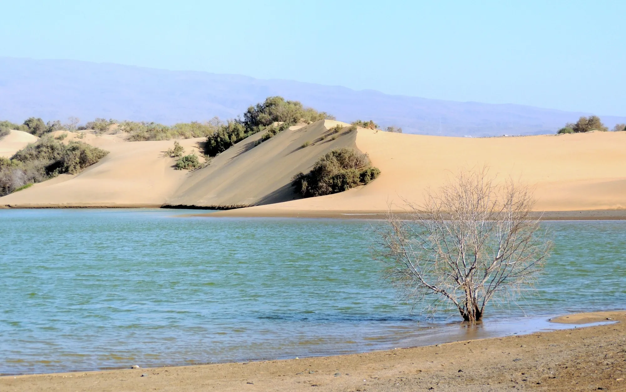
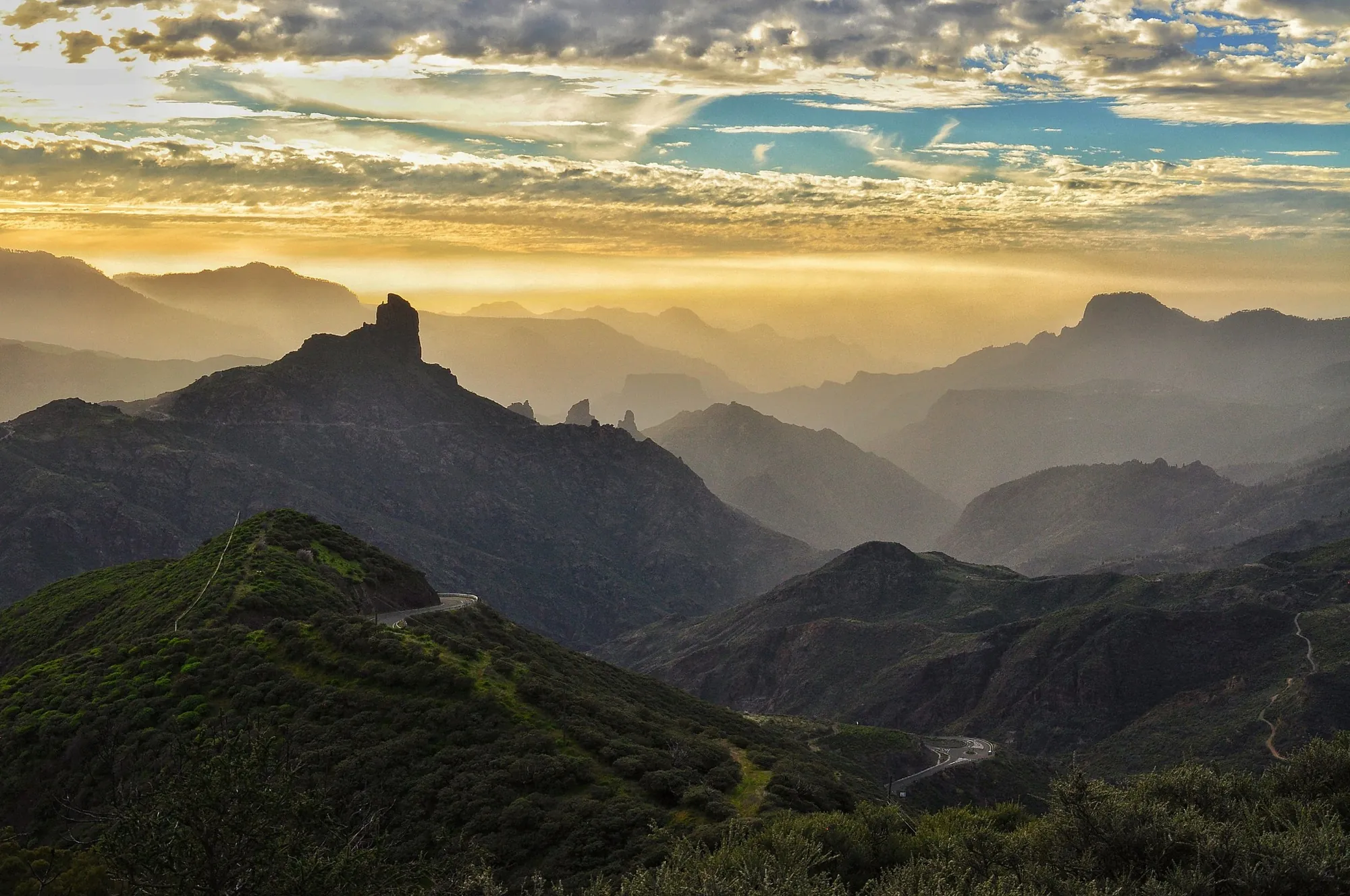
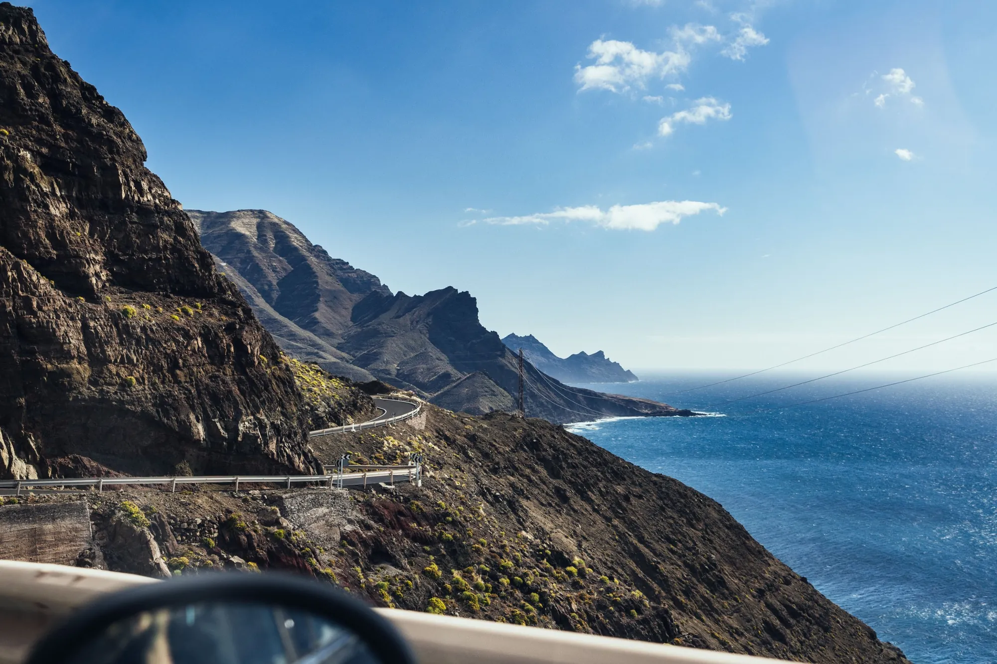
Gran Canaria is almost round, with mountains rising to nearly 2,000 metres in the middle and deep ravines running down to the sea on every side. In the south are the dunes of Maspalomas and the busy beaches of Playa del Inglés. In the north-east is Las Palmas, the largest city in the Canary Islands, with its old quarter of Vegueta and the long city beach of Las Canteras. In between are pine forests, mountain villages and ancient cave sites.
Don't miss
The best of Gran Canaria.
- Maspalomas DunesA protected nature reserve of moving dunes between Playa del Inglés and the Maspalomas lighthouse.
- Roque NubloA short walk to the island's most famous rock, with views over the Caldera de Tejeda.
- Tejeda & Roque BentaygaMountain villages and viewpoints in the centre, and the cave sites of Risco Caído, a UNESCO World Heritage Site.
- Las PalmasVegueta's old streets, the Casa de Colón and three kilometres of beach at Las Canteras.
- Puerto de MogánA small harbour with canals and flower-covered houses on the sunny south-west coast.
- Pozo IzquierdoOne of the windiest spots in the world for windsurfing, on the east coast.
Maps
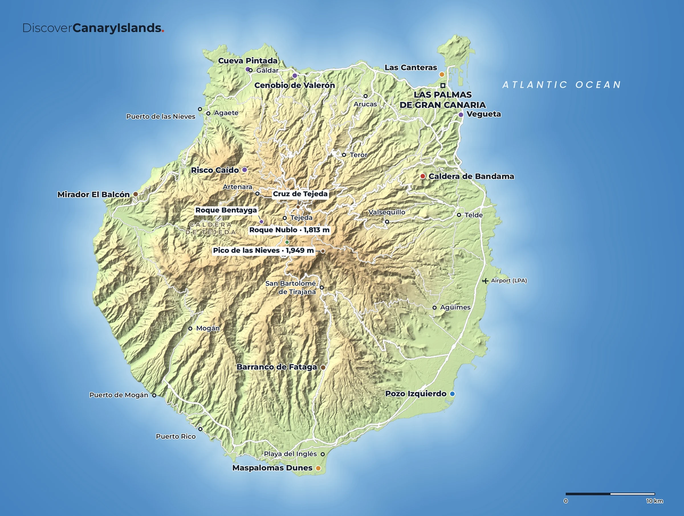
Gran Canaria on the map.
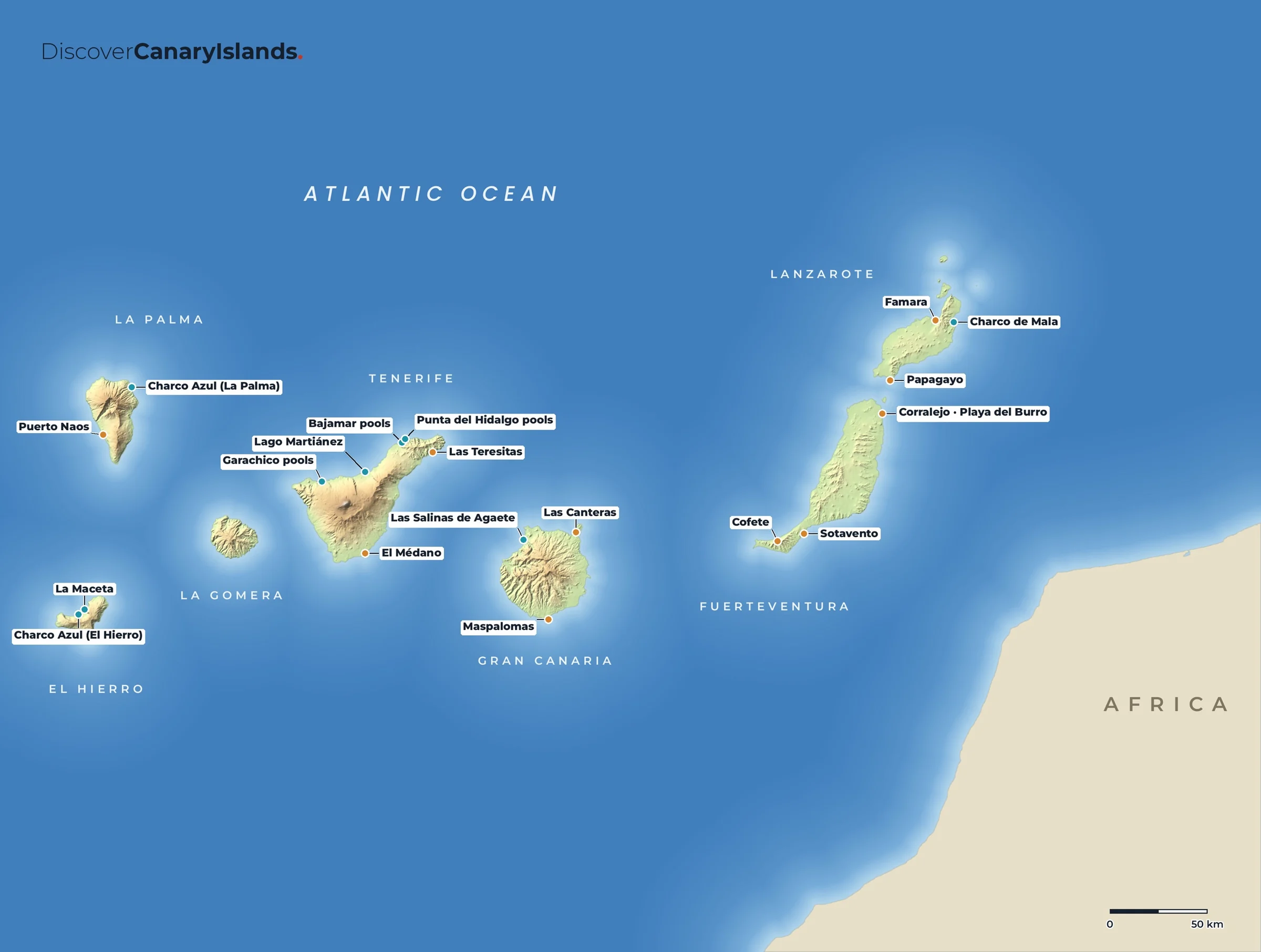
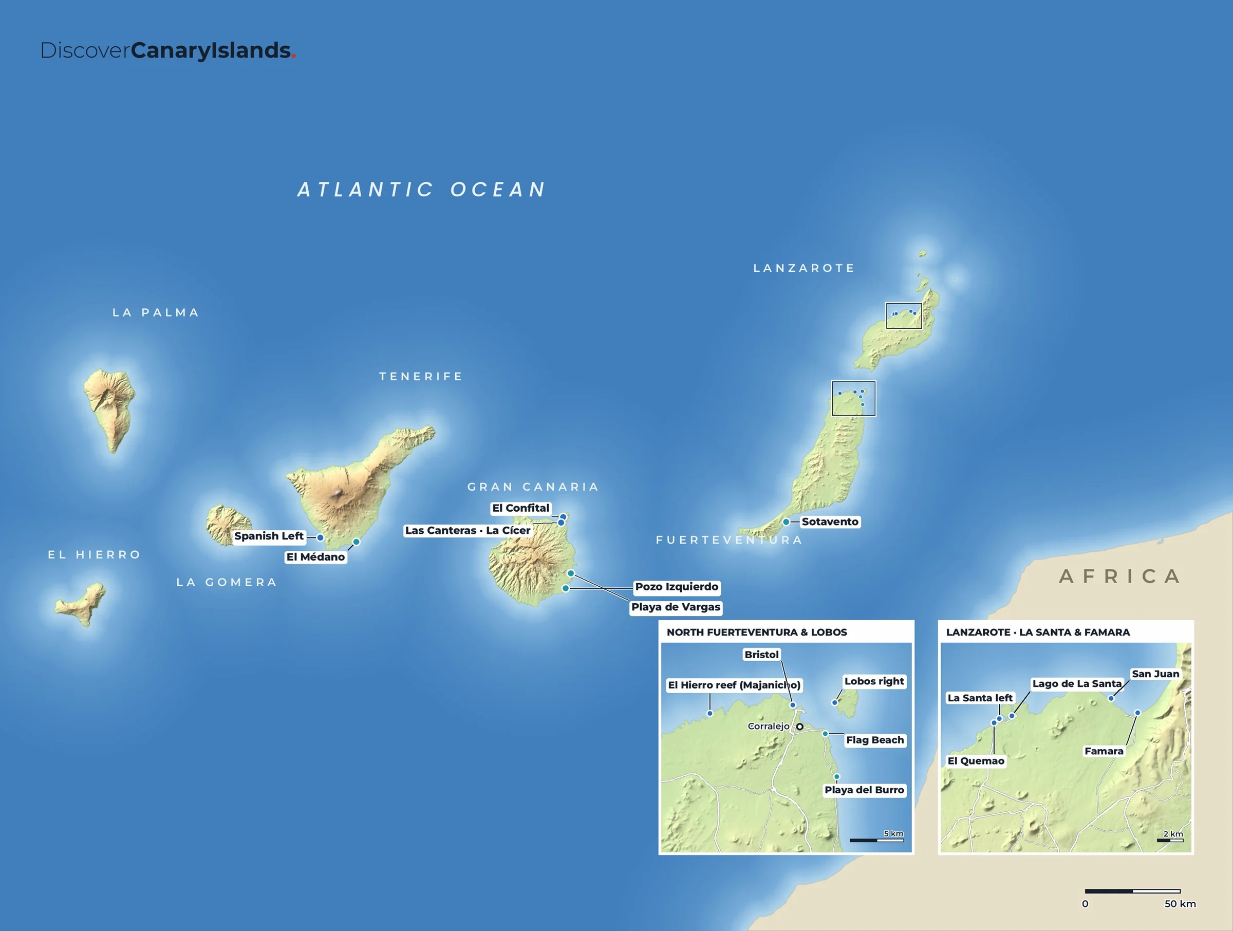
Practical
Everything you need to know.
Getting there
Gran Canaria Airport (LPA) is on the east coast, about half an hour from both Las Palmas and Maspalomas. Ferries from Agaete and Las Palmas sail to Tenerife, and from Las Palmas to Fuerteventura, Lanzarote and mainland Spain.
Getting around
The Global bus network covers the coast well. For the mountains, a hire car gives you much more freedom, but the roads are steep and winding.
When to go
All year. The south is the sunniest and driest. The north and the mountains are greener, and can be cloudy and cool.
Where to stay
Las Palmas for city life and Las Canteras, Maspalomas or Playa del Inglés for beaches, Puerto de Mogán for a quieter base, a rural house near Tejeda for the mountains.
The island guide · Coming soon
Discover Gran Canaria
Maspalomas, Roque Nublo, Tejeda, Las Palmas & the mountain villages. Leave your email and we will tell you the day it launches.