 Scroll
About La Gomera
Ancient forest and deep valleys.
La Gomera is small, round and steep, cut by deep ravines that run from the central plateau to the sea. At the top is Garajonay National Park, one of the best-preserved laurel forests in the world and a UNESCO World Heritage Site, often wrapped in mist. The islanders developed Silbo Gomero, a whistled language for talking across the valleys, which is now taught in schools. Columbus stopped here in 1492 before crossing the Atlantic.
Don't miss
The best of La Gomera.
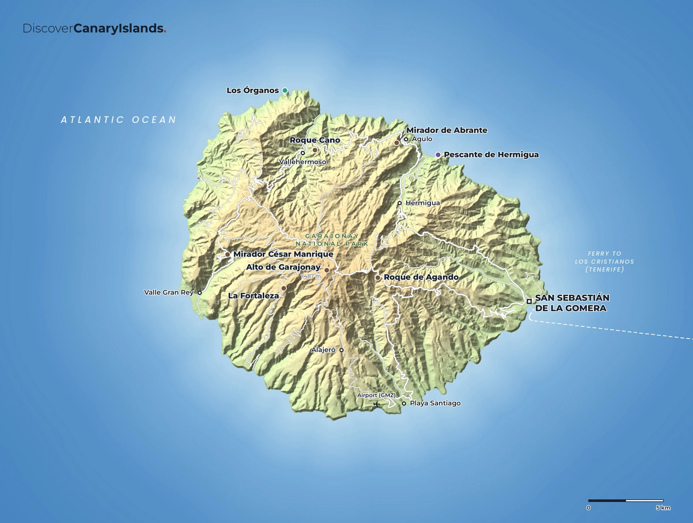
- Garajonay National ParkMossy laurel forest and walking trails, with the summit viewpoint at Alto de Garajonay.
- Valle Gran ReyTerraced valley walls running down to black beaches on the sunny west coast.
- Roque de AgandoA tall volcanic plug beside the road through the middle of the island.
- Los ÓrganosBasalt columns like organ pipes on the north coast, seen only from the sea.
- Mirador de AbranteA glass-floored lookout hanging over the cliffs above Agulo.
- San SebastiánThe island's capital and ferry port, with links to Columbus's 1492 voyage.
Maps
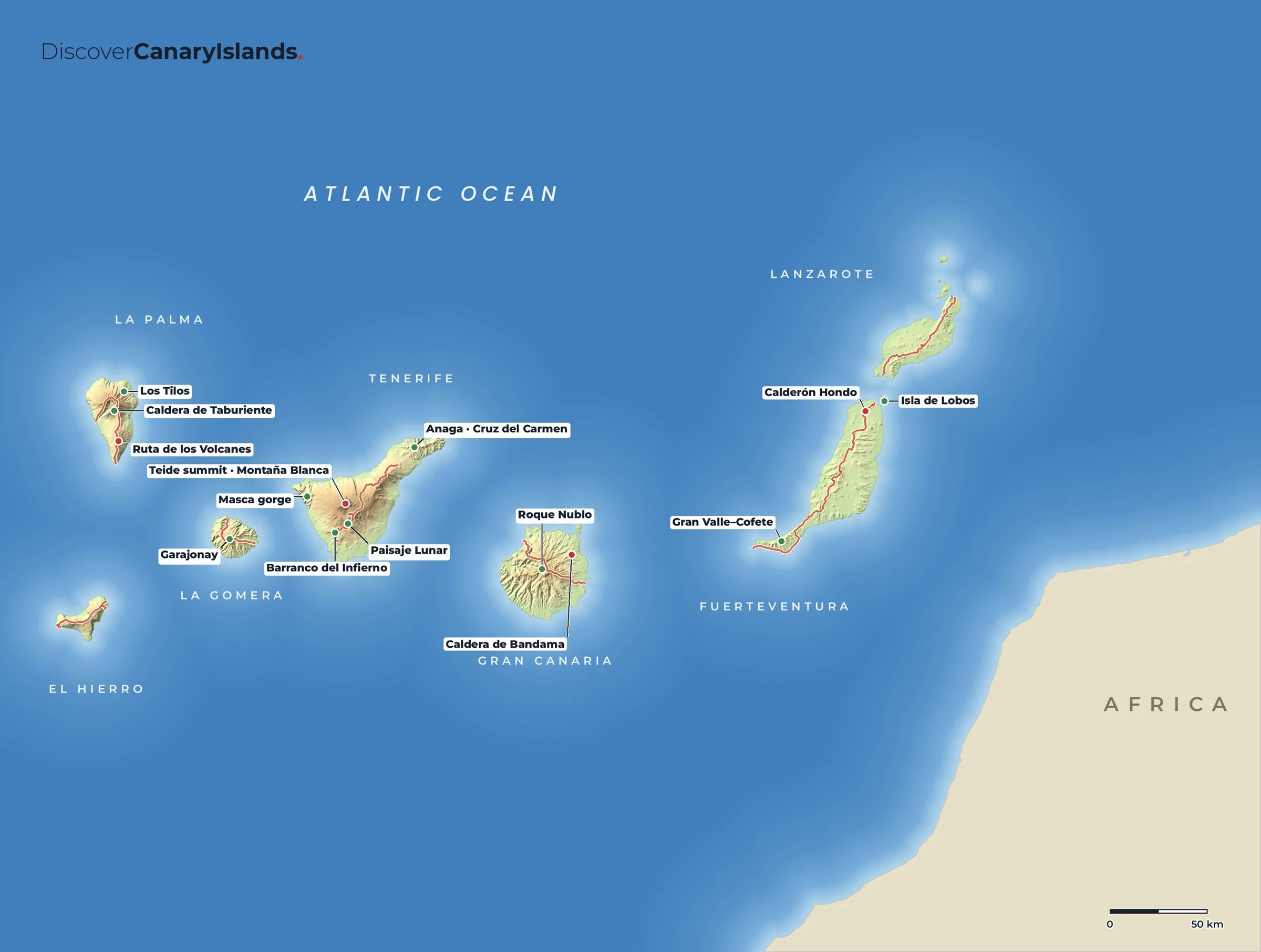
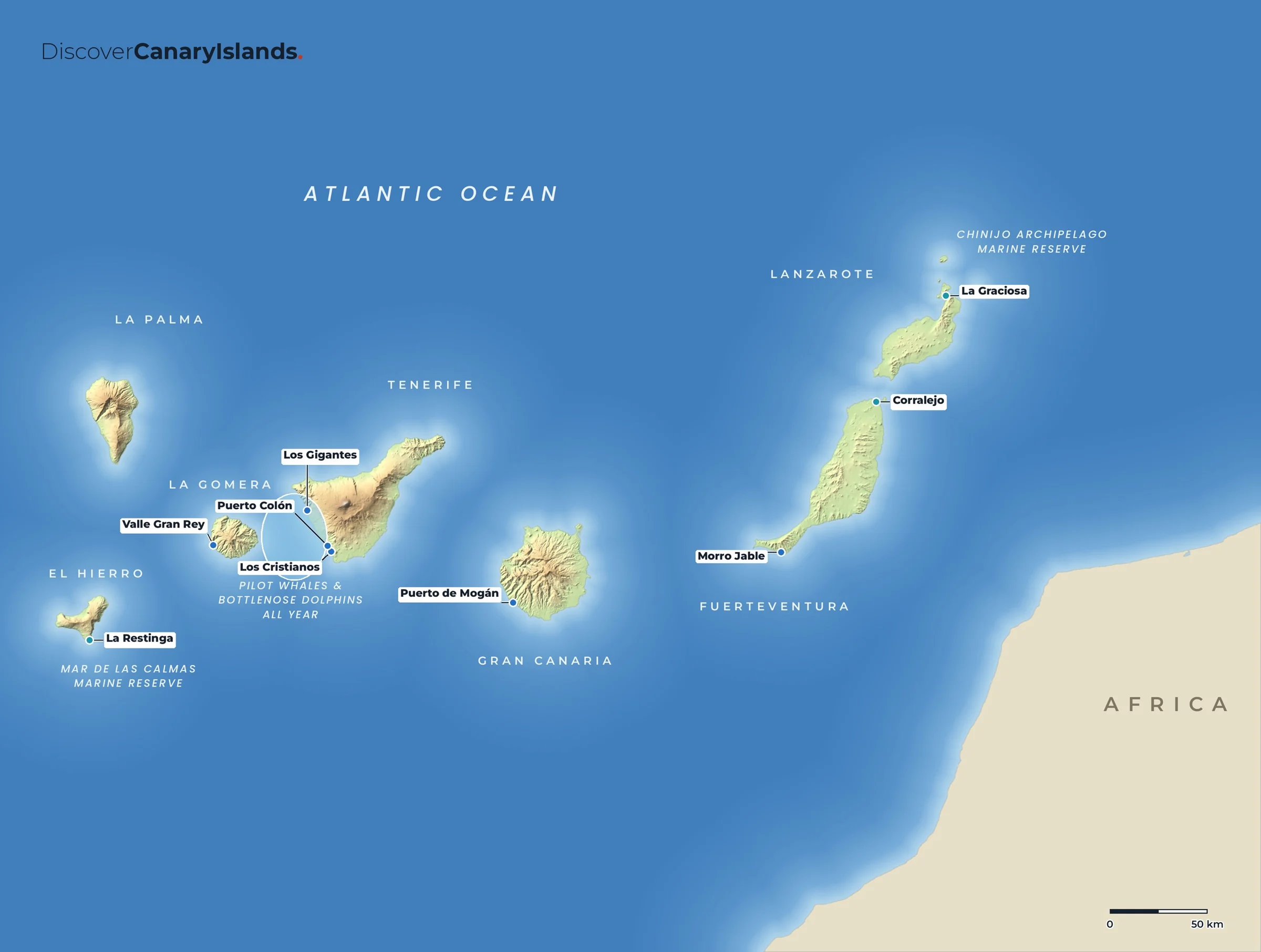
La Gomera on the map.
Practical
Everything you need to know.
Getting there
Most visitors arrive by ferry from Los Cristianos on Tenerife to San Sebastián, about an hour away. The small airport (GMZ) near Playa Santiago has flights from Tenerife North and Gran Canaria.
Getting around
A hire car or the local buses. The roads are steep and twisting, so travel times are long. Many walkers combine buses and trails.
When to go
All year. Spring and autumn are best for walking. The forest is often in cloud, so bring a warm layer.
Where to stay
Valle Gran Rey for the sun and the sea, San Sebastián for the ferry, Hermigua or Agulo in the green north, Playa Santiago in the south.
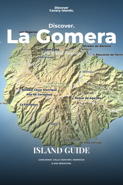
The island guide · Coming soon
Discover La Gomera
Garajonay, Valle Gran Rey, Hermigua & San Sebastián. Leave your email and we will tell you the day it launches.