 Scroll
About La Palma
Forests, craters and the stars.
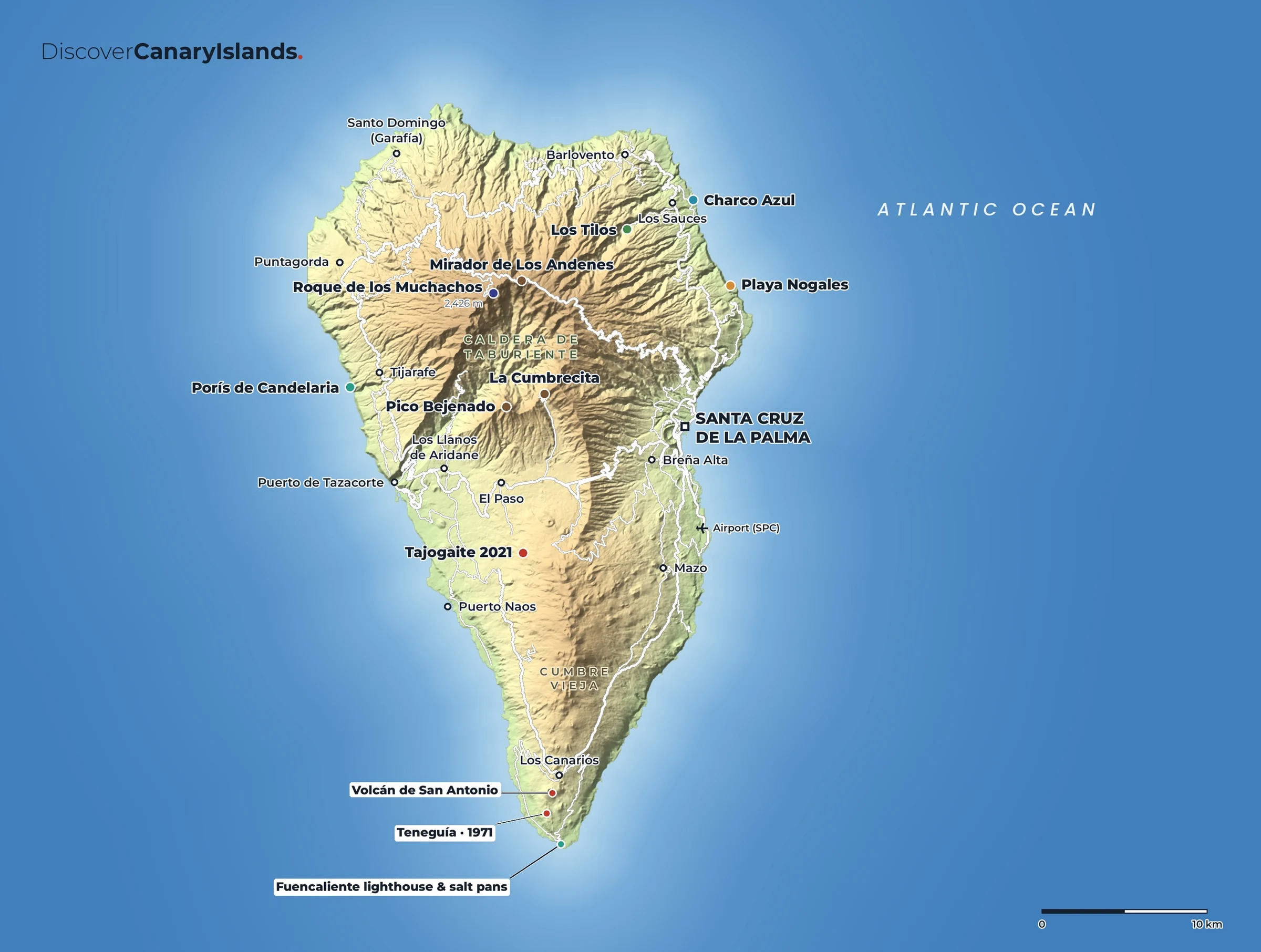
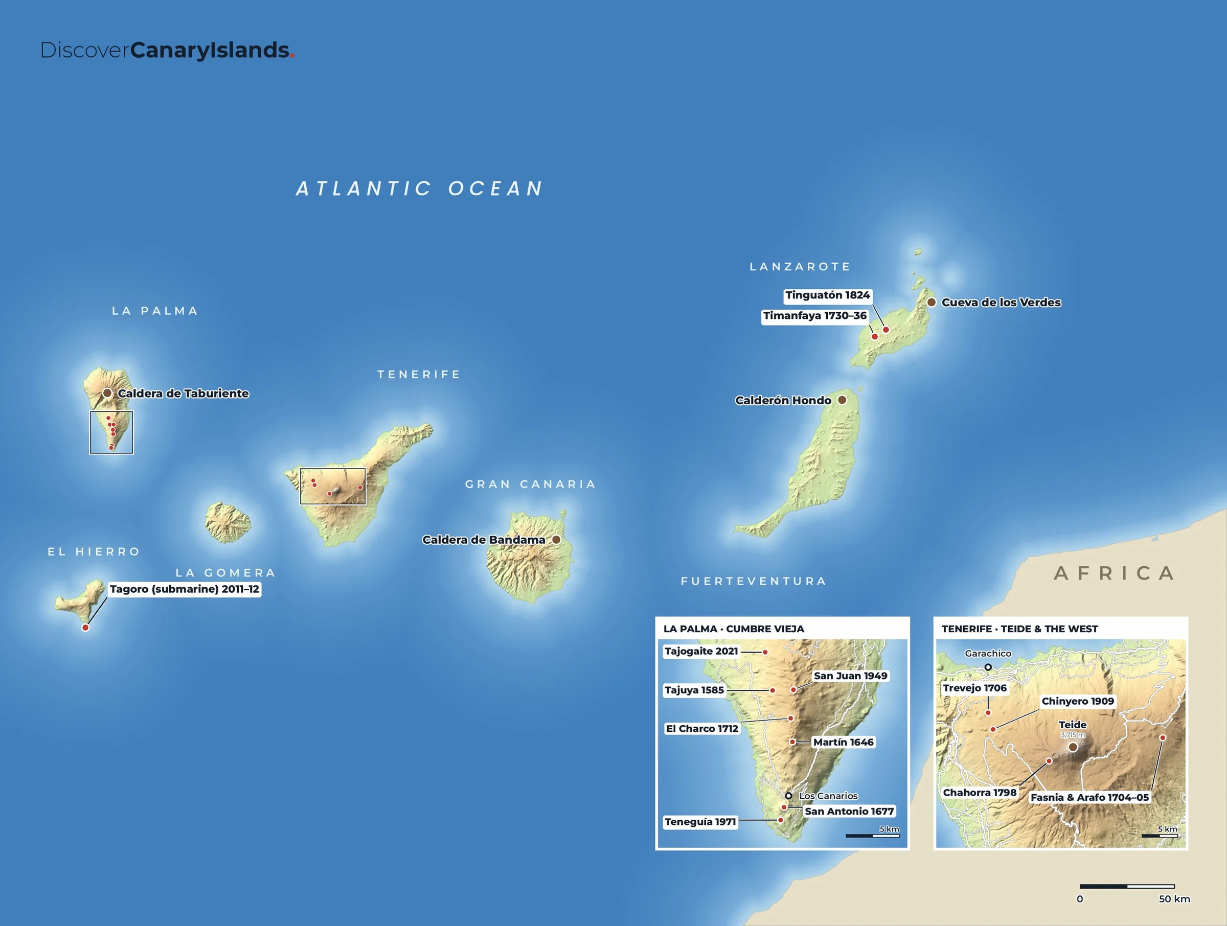
La Palma is steep, green and one of the youngest islands in the archipelago. In the north is the Caldera de Taburiente, a huge crater-like valley and national park with pine forest and streams. Down the spine of the island runs the Cumbre Vieja, a ridge of volcanoes that erupted most recently in 2021, when the Tajogaite eruption lasted 85 days. The clear, dark skies make La Palma one of the best places in the world to look at the stars, and the observatory on Roque de los Muchachos is among the most important anywhere.
Don't miss
The best of La Palma.
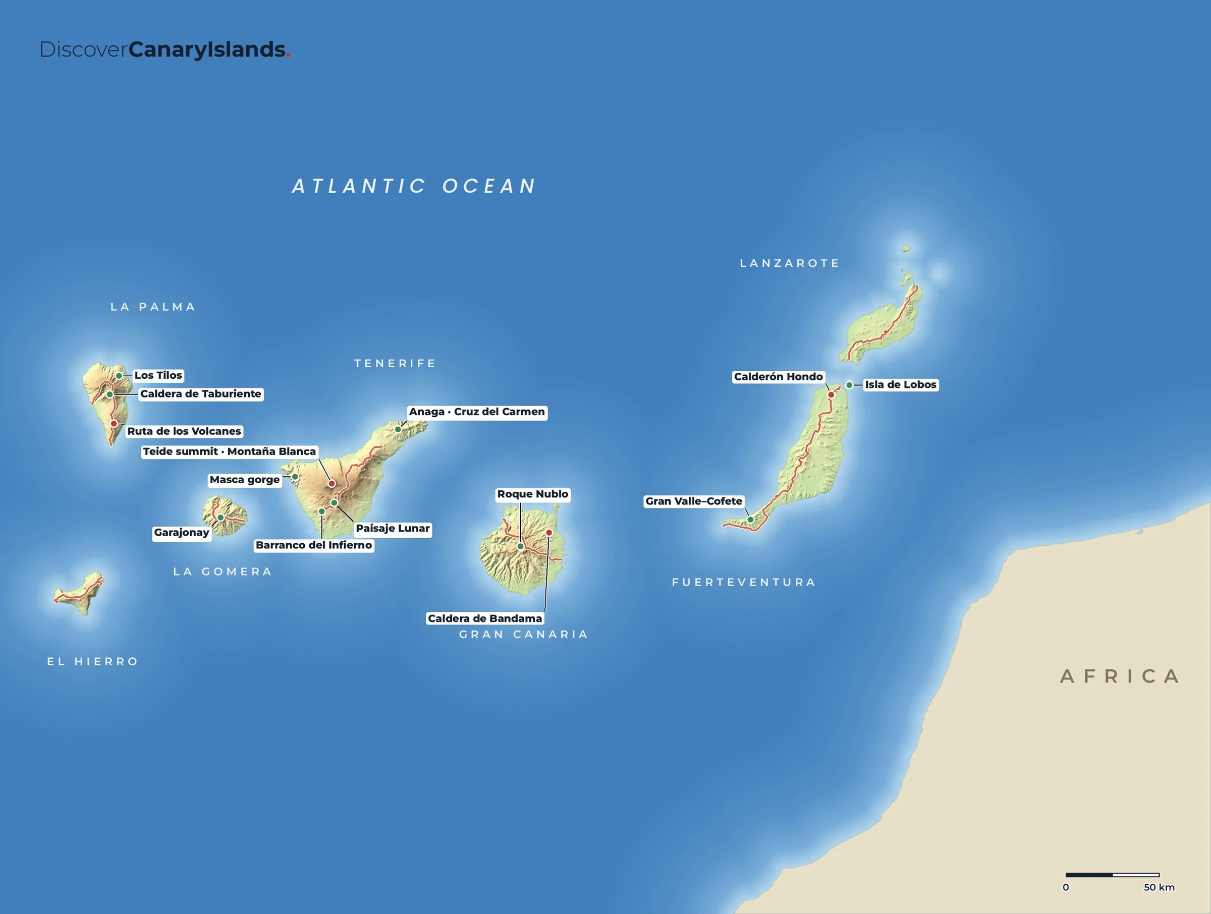
- Caldera de TaburienteA national park of pine forest, cliffs and streams, with trails down to the valley floor.
- Roque de los MuchachosThe highest point of the island, with the observatory and views over the clouds.
- Ruta de los VolcanesA long walk along the Cumbre Vieja from El Pilar to Fuencaliente, past cones and craters.
- Los TilosA deep ravine of laurel forest in the north-east, part of a UNESCO Biosphere Reserve.
- FuencalienteThe southern tip, with the San Antonio and Teneguía volcanoes, a lighthouse and salt pans.
- Charco AzulNatural sea-water pools on the north-east coast near San Andrés y Sauces.
Maps
La Palma on the map.
Practical
Everything you need to know.
Getting there
La Palma Airport (SPC) is just south of Santa Cruz de La Palma, with flights from the other islands, mainland Spain and some European cities. Ferries link Santa Cruz de La Palma with Los Cristianos on Tenerife.
Getting around
A hire car is almost essential. The roads are steep and winding, so allow more time than the distances suggest.
When to go
All year. The west side around Los Llanos and Tazacorte is the sunniest. Spring is lovely for walking and wildflowers.
Where to stay
Santa Cruz de La Palma for its old town, Los Llanos de Aridane or Tazacorte on the sunny west side, a rural house in the north for walking.
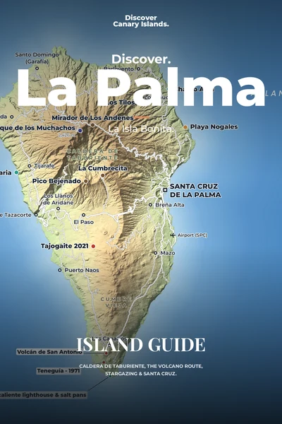
The island guide · Coming soon
Discover La Palma
Caldera de Taburiente, the volcano route, stargazing & Santa Cruz. Leave your email and we will tell you the day it launches.